Summary
Monday hike along the Lookout Mountain Trail in the Mt Baker-Snoqualmie National Forest in the North Cascades. This is a moderate-difficult, non-technical hike. There is considerable elevation gain along the entire route. The trail has several creek crossings in the the upper portion of the trail, with a varying range of quality and stability. The open slope just before getting to the Lookout hut offers excellent panoramic views of the valley and surrounding mountains. There is minimal snow for a majority of the hike until the last 0.3 miles. The roughly 8 mile round-trip took about 5.5 hrs.
(All pictures are clickable for larger views.)
Route Overview
Expand for more details


In the above general route outline, the yellow was roughly our route. The trail is clearly defined the entire way until the last 0.3 miles. Snow tracks might be visible.
I used the Gaia app to outline the general route depicted above.
Washington Trail Association Links:
- Lookout Mountain
Appropriate Maps:
- National Geographic Maps:
- North Cascades National Park #826
- Good overview of the area/surrounding area, but not practical for the details of the trail.
- North Cascades National Park #826
Overall Difficulty:
Moderate to strenuous. Lots of elevation gain. Not much snow until the last 0.3 mile, which is on mostly steep terrain.
Gear Load-out:
Expand for more details
- Osprey Talon 33L
- Microspikes
- 3L Hydration Reservoir
- First Aid Kit
- Compass
- Map
- 1x pair extra socks
- Food
- ***Should have brought ice axe***
Getting to the Trailhead:
Expand for more details
From Sedro Woolley, drive east along WA-20 for about 40 miles. WA-20 will begin to curve but continue straight to cross the bridge in Marblemount. Cascade River Rd is paved over the next 7miles to the trailhead. Once you reach the National Forest sign, the trailhead is about 0.4miles further. There are signs for the trailhead just before reaching the parking area on the right side of the road.
The parking area at the trailhead is decent. There is likely room for about 25 vehicles depending on how people park. There is no bathroom structure at the parking area.


Google Maps Directions:
From the North Cascades National Park facility in Sedro Woolley, WA to the Lookout Mountain Trailhead (click here)
Vehicle Clearance:
Cascade River Road is paved through to the trailhead with no issues for lower clearance vehicles.
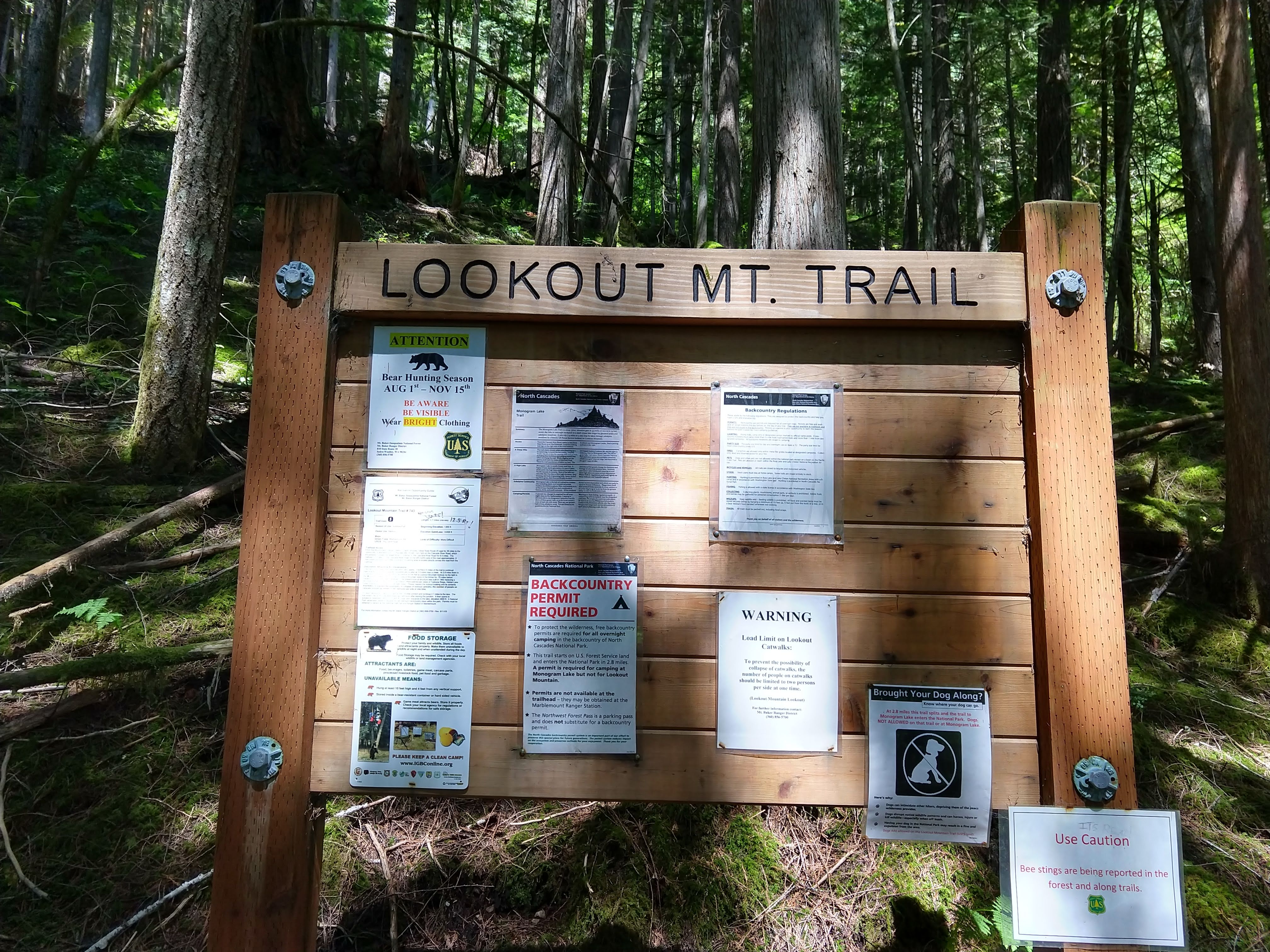
Permits:
America the Beautiful National Parks/Forest or the Northwest National Forest Passes are valid. You can get passes at the Ranger station in Marblemount.
Day Trip:
Pack Weight Start: Did Not Measure, est 10lbs.
Trailhead to Lookout-Monogram Lake Trail-split. 1hr 52min
I arrived at the parking area around 1245PM. There were 3 cars already with one group getting ready to leave following their hike. The weather was in the lower 70s, but being under the tree canopy helped to keep the temperature cooler.


Once you get to the exposed rock area, the trail snakes around taking you to the top where there is an opening to get some minor views of the southern side of Lookout Mountain.


When you get to the meadow, you will be able to get some limited southern views when you turnaround throughout the clearing. The vegetation is dense, though the trail is still clearly defined.


After crossing the densely vegetated meadow, you will re-enter the woods. There is much less elevation gain to get to the Monogram Lake/Lookout Mountain trail split. Along the way, there are a couple water crossings. The first bridge is solid, while the second has a lot of future potential. In the meantime, note that the wood pieces are slick and not exactly firm in stability.


Lookout-Monogram Lake Trail-split to Turnaround. 3hr 20min (1hr 28min)
From the trail split, its a short jaunt to where you first encounter the lingering snow. There is not much snow to need anything for passage.


As I exited the forested area, the views really began to open up. As I crossed the open slope, the view down the valley and across toward the ridge above Monogram Lake began to open up more and more. Along the trail you can see the emergence of plants that were likely still covered in snow not long ago.


The following the views at the shoulder peering west and down the north side of Lookout Mountain. From here you could see Mt Baker in the distance. Due the surrounding trees on the ridge line, there wasn’t much of a wide panoramic view, though once at the Lookout hut, you would be able to get the full 360 views.


After working my way across the snow, I decided to turnaround and head back. With the recency of repeated shoulder dislocations over the past couple weeks, my nerves were getting pretty rattled at a potential slip and fall down the steep slow, especially without an ice axe for balance and stability. I’ll have to make an attempt another day. The following pictures depict roughly where I got to.


Turnaround to Trailhead. 5hr 37min (2hr 17min)

After working may way down the snowy area, I started back on the traverse across the open slope. Just before entering the woods again, I stopped to take a break, eat some food and enjoy the view down the valley.


Once I re-entered the woods, the remaining views were limited to the forest. Once you hit the final clearing area, you can take in some final bonus views before the final hour back to the trailhead.

Trip Metrics
- Total Mileage: ~8.0 miles
- Total Elevation: ~4208 ft
- Start Time: ~1253PM Monday 27 May 2019
- Finish Time: ~6:31PM
- Total Time: 5hr 37min
- Total Calories: 4332

