Summary
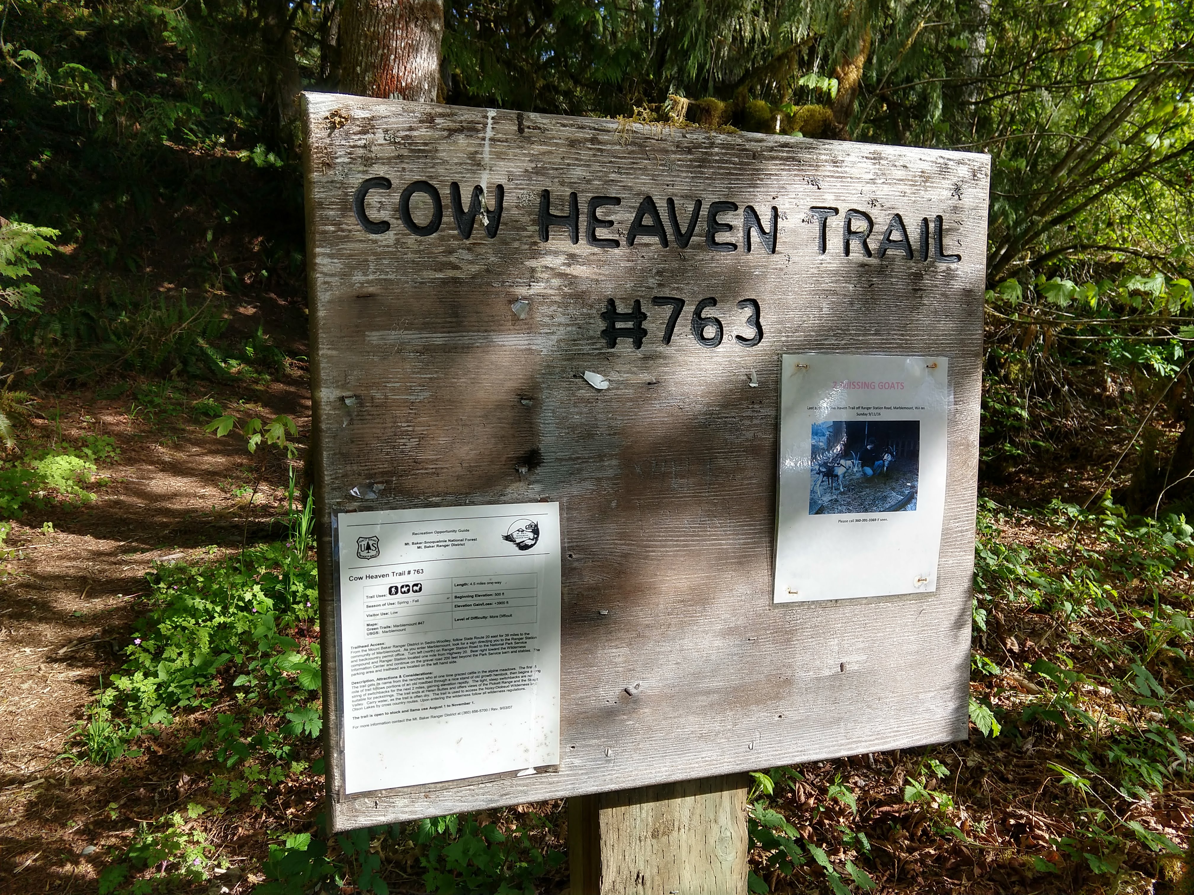
Saturday morning hike and snowshoe at Cow Heaven in the Mt Baker-Snoqualmie National Forest in the North Cascades. This is a non-technical hike that is strenuous, especially with snowshoeing conditions. We did not make it up to the top portion near Helen Butte. There is quite a bit of elevation gain along the route. There are not many views during most of the hike until you start South and Eastward views most of the way with several openings as you travel through the wood to higher elevations. The weather cooperated with us, giving way to partly cloudy skies and decently warm temperatures the entire way. There were only 3 other hikers on the trail during the whole outing. The hike took about 6.25 hrs.
This hike is definitely a great hike for solitude and conditioning. Where we got to on this trip, the panoramic views looking northeast to southwest were great. If you can get to the upper area at the base of Helen Butte you can get a lot more views to the northwest toward Mt Baker. This would be a great place to overnight for a sunset and sunrise.
(All pictures are clickable for larger views.)
Route Overview
Expand for more details

General Route General Elevation Profile


In the above general route outline, the yellow was roughly our route. The trail is clearly defined for the majority of the way. The snow line started around 3700ft. Once in the snow, we followed a general set of tracks which generally meshed with the normal trail route.
During this outing, I experimented with the Gaia app again to help with outlining the general route depicted above.
Washington Trail Association Links:
Overall Difficulty:
Strenuous. Solid elevation gain over the first two miles. Snow began around 3700 ft. Dependent on the snow-pack and your conditioning with snowshoeing.
Gear Load-out:
- Gregory Zulu 40L [Amazon Link]
- Snowshoes [Amazon Link]
- Microspikes [Amazon Link]
- 3L Hydration Reservoir [Amazon Link]
- First Aid Kit
- Glacier Glasses [Amazon Link]
- Light weatherproof jacket
- Light down jacket
- Beanie
- Neck gaitor
- Gloves (see Layered Glove post)
- Compass
- Map
- Over-boots (for my approach/hiking shoes) [Amazon Link]
- 1x pair extra socks (Darn Tough) [Amazon Link]
- Food
– – – – – – – – – – – – – – – – – – – – – – – – – – – – – –
Getting to the Trailhead:
From the North Cascades National Park Facility in Sedro Woolley, WA, drive east along WA-20 for about 39.1 miles. There will be a sign to turn left onto Ranger Station Rd. Continue for about a mile until you reach the Visitor Center. From the Visitor Center continue for another 0.2 miles (reference the image below for more context).
The parking area at the trailhead is quite small. There is likely enough room for only 3-4 vehicles. There was no bathroom structure at the parking area, but there is one at the North Cascades National Park Visitor Center at Marblemount.


Google Maps Directions:
From the North Cascades National Park Facility in Sedro Woolley, WA to the Cow Heaven Trailhead (click here)
Vehicle Clearance:
WA-20 is paved with no issues. The short stretch from the Visitor Center to the trailhead is gravel with no issues. Low clearance vehicle accessible.
Permits:
National Parks/Forest or the Northwest National Forest Passes are valid.
Day Trip:
Pack Weight Start: Did Not Measure, est 15lbs. No picture.
Cow Heaven Trail Parking Lot to Snow line. 2hr 16min

Starting about 9:13AM, there was only one other vehicle in the small parking lot. This has not seemed to be a popular trail from the several times I have hiked it, which is great for solitude. The temperature was in the mid-50s in the parking area and mostly clear skies.
The trail starts out pretty gentle. Within the first 10minutes, you’ll have to cross a couple of streams (photos near the end of this post). Once you cross the streams the elevation begins climbing over a series of switchbacks, which continues quite a bit over the next couple miles. Over the couple of miles, there are a couple more stream crossings. The first has a very basic foot bridge, while another just has moss covered rocks (pictured below).

Throughout the hike, you pass by and under a few different rock formations and outcroppings as depicted. The trail is generally moderate to heavily wooded so you’ll have to appreciate the inner-forest views until you reach the lower meadow area.

Snow Line to Upper-Lower Meadow. 3hr 18min (1hr 2min)
The snow started out fairly light around the 3600-3700ft area, but around the 3700ft mark we decided to don our snowshoes. You don’t necessarily need snowshoes until you get closer to the lower meadow area, but you will likely post-hole quite a bit if you don’t. In some of the snow covered areas, you could see the mosquitoes flying around but they didn’t seem to be feasting. When I did this hike in June-2018, the mosquitoes would swarm you if you stopped, so you might consider bringing bug spray or wear long clothing.

The closer we got to the meadow, the less defined the trail was and the presence of tracks were harder to tell at times. If you have hiked this trail before, you can spot some of the markers pretty easily. For those that haven’t hiked this before you might spot some of the orange markers some have tied around trees and branches to help blaze the way. The GAIA app doesn’t have a trail line for this hike so you don’t have that resource to follow.

After breaking out of the forest, you get some initial views looking north/northeast into the North Cascades National Park. In the photo above, the center is the valley you would normally drive in to get to Newhalem and beyond on WA-20E.
The photo below is looking back on the lower meadow area. The now is much deeper up here. If you didn’t bring snowshoes, you’ll likely make a lot of extra work for yourself.

We settled for the views at the upper portion of the lower meadow area for this trip after looking at the slope leading to the top portion of the hike. The warming temperatures and snow depth might make it difficult and less desirable for some, but the views are better. Last year the snow had melted out to the upper meadow by early July if you would rather not snowshoe it up to the top.

In the location above, you could easily see the mountain south of WA-20from Snowking Mountain (left) to White Horse Mountain (center-right) and Three Fingers (far-right). The air was a little bit hazy but certainly didn’t detract from the views. Bring a map and compass or have maps on your phone to point out the various peaks and ridges.
Returning to Parking Lot. 6hr 14min (2hr 56min)
After we finished our last set of views we headed back the same way we took coming up. The following photos depict some of the last prominent views before re-entering the forest.


The following pictures depict more of the trail on way back to the parking lot. The first foot bridge in the picture is mostly sturdy but could make some uneasy. The last two pictures depict the initial stream crossing within the first/last 10minutes of the parking area.


.
Trip Metrics
- Total Mileage: ~8.4 miles
- Total Elevation: ~4227 ft
- Start Time: ~9:15AM Saturday 4 May 2019
- Finish Time: ~3:30PM

